The National Interagency Fire Center (NIFC) is the nation’s support center for wildland fires and other emergency situations. The partners at NIFC work together to compile information about the current wildfire situation and statistics that encompass lands managed by federal, state, local, tribal, and private agencies.
The current wildland fire situation is summarized in the National Fire News and Incident Management Situation Report, produced by the National Interagency Coordination Center. These reports are available daily most of the year, and weekly during the winter months. Wildland fire statistics ranging from the number of fires and acres burned, to federal suppression costs, to the number of lightning-caused fires ignited are updated annually. Maps for current large fires and fire potential outlook maps for the next four months can be easily downloaded.
InciWeb provides up-to-date information on active wildfires across the nation. Large fires on InciWeb have information about the wildfire, news, and announcements, contact information and hours of operation, maps, photographs, and videos. This site is updated regularly and is the best place to find current fire information for ongoing wildfires.
Current Preparedness Level
National Wildland Fire Preparedness Levels
A Summary of the Nation’s Wildfire Response Stages
The National Multi-Agency Coordination Group (NMAC), composed of wildland fire representatives from each wildland fire agency based at the National Interagency Fire Center (NIFC) in Boise, establishes preparedness levels throughout the calendar year to ensure suppression resource availability for emerging incidents across the country. Preparedness levels are dictated by fuel and weather conditions, fire activity, and fire suppression resource availability throughout the country.
The five preparedness levels range from the lowest (1) to the highest (5). Each one includes specific management actions and involves increasing levels of interagency resource commitments. As preparedness levels rise, so does the need for incident management teams and suppression resources, which include wildland fire crews, engines, support personnel, helicopters, airtankers and other aircraft, and specialized heavy equipment, such as bulldozers.
How Does NMAC Determine National Preparedness Levels?
Preparedness Level 1 (PL 1)
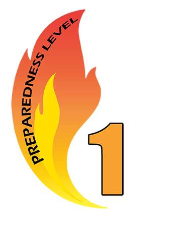
Geographic areas accomplish incident management objectives utilizing local resources with little or no national support. There is little risk of drawing down capability in any geographic area to support incident operations.
Preparedness Level 2 (PL 2)
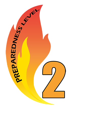
Active geographic areas may require national support to accomplish incident management objectives. Resource capability remains stable enough nationally to sustain incident operations and meet objectives in active geographic areas. There is a low to moderate probability that drawing down resources from non-active geographic areas may pose a risk should existing conditions change.
Preparedness Level 3 (PL 3)
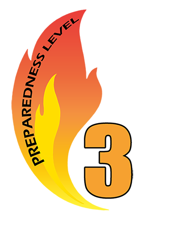
Mobilization of resources nationally is required to sustain incident management operations in active geographic areas. National priorities are established to address the demand for shared resources among active geographic areas. There is a moderate to high probability that drawing down resources from non-active geographic areas may pose a risk should existing conditions change.
Preparedness Level 4 (PL 4)
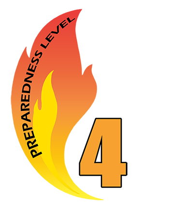
National resources are heavily committed. National mobilization trends affect all geographic areas and regularly occur over larger distances. National priorities govern resources of all types. Heavy demand on inactive/low activity geographic areas for available resources.
Preparedness Level 5 (PL5)
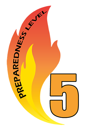
National resources are heavily committed, and additional measures are taken to support geographic areas. Active geographic areas must take emergency measures to sustain incident operations. Inactive/low activity geographic areas are reaching drawdown levels.