Explore Wildland Fire Maps
This page is your gateway to real-time and historical maps that tell the story of wildland fire across the country. Whether you want to check today’s fire activity, explore past fire seasons, or understand how weather and landscape interact with active incidents, the tools below put the information at your fingertips.
Which map should I choose?
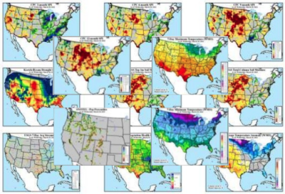
See current fires
- Real-time fire perimeters updated daily
- Live weather overlays to show fire weather
- Satellite-detected fire starts in near real time
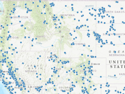
Explore past fires
- Interactive maps of historical fire perimeters
- Downloadable data for research or projects
- Filter by year, location, or fire name
Download fire data
- Data formats ready for mapping software
- Reliable, authoritative federal fire data
- Filter and download by date or location