The Nation’s Wildland Fire Support Hub
The National Interagency Fire Center (NIFC) brings together multiple agencies to support the nation’s response to wildland fires and other emergencies. Here, partners work side by side to gather and share information on the current wildfire situation, spanning federal, state, local, tribal, and private lands.
During peak wildland fire activity, the Incident Management Situation Report, produced by the National Interagency Coordination Center, provides a nationwide snapshot of fire activity, resource commitment, and conditions. National Fire News also offers regular updates on fire activity and prevention messages, keeping the public and media informed. These reports are available daily for most of the year and weekly during the winter months. Annual summaries track long-term trends, from the number of fires and acres burned to suppression costs and lightning-caused ignitions. Current large fire maps and seasonal fire potential outlooks for the next four months are also available for download.
For real-time, incident-specific details, InciWeb is the go-to resource. Updated regularly by personnel assigned to each incident, InciWeb offers maps, updates, contact information, photos, and videos. It is the most current and reliable source for information on active wildfires across the country.
Current Preparedness Level
National Wildland Fire Preparedness Levels
A Summary of the Nation’s Wildfire Response Stages
The National Multi-Agency Coordination Group (NMAC), made up of wildland fire representatives from each agency at the National Interagency Fire Center, sets Preparedness Levels (PL) to help ensure enough crews, aircraft, and equipment are available for new incidents across the country.
Levels range from 1 (lowest) to 5 (highest), based on fire activity, weather, fuel conditions, and resource availability.
Why it matters: As the Preparedness Levels escalate during the fire year, every prevented wildfire helps keep firefighters, aircraft, and equipment ready for the most urgent needs. Simple choices, like securing chains, extinguishing campfires, and following restrictions, can make a real difference in keeping communities and landscapes safer.
How Does NMAC Determine National Preparedness Levels?
Preparedness Level 1 (PL 1)
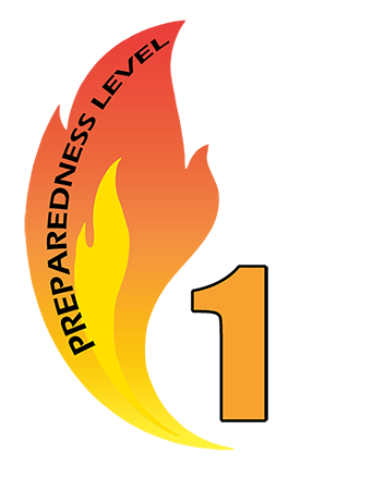
Geographic areas accomplish incident management objectives utilizing local resources with little or no national support. There is little risk of drawing down capability in any geographic area to support incident operations.
Preparedness Level 2 (PL 2)
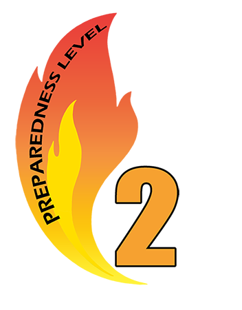
Active geographic areas may require national support to accomplish incident management objectives. Resource capability remains stable enough nationally to sustain incident operations and meet objectives in active geographic areas. There is a low to moderate probability that drawing down resources from non-active geographic areas may pose a risk should existing conditions change.
Preparedness Level 3 (PL 3)
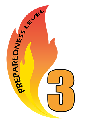
Mobilization of resources nationally is required to sustain incident management operations in active geographic areas. National priorities are established to address the demand for shared resources among active geographic areas. There is a moderate to high probability that drawing down resources from non-active geographic areas may pose a risk should existing conditions change.
Preparedness Level 4 (PL 4)
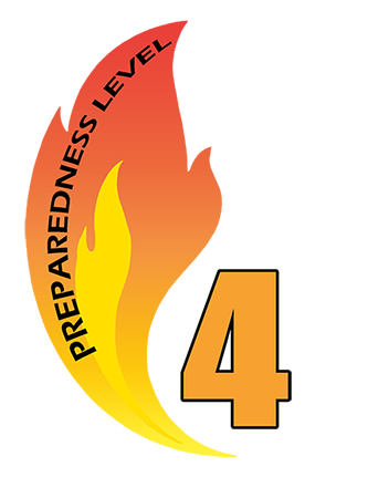
National resources are heavily committed. National mobilization trends affect all geographic areas and regularly occur over larger distances. National priorities govern resources of all types. Heavy demand on inactive/low activity geographic areas for available resources.
Preparedness Level 5 (PL5)
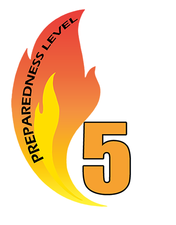
National resources are heavily committed, and additional measures are taken to support geographic areas. Active geographic areas must take emergency measures to sustain incident operations. Inactive/low activity geographic areas are reaching drawdown levels.